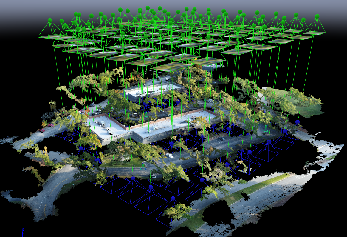
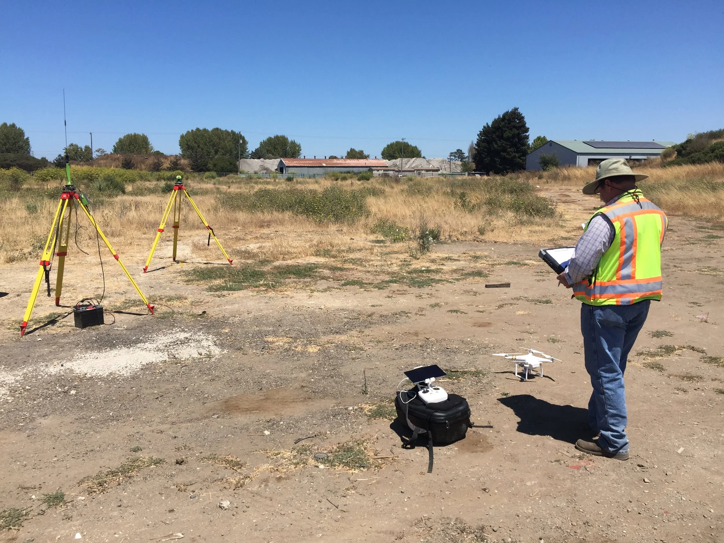
With Aerotas' position as the preeminent provider of drone solutions for land surveyors, we constantly field questions from surveyors about various components of drone technology. This is the third in a three-part series of articles in Point of Beginning magazine, summarizing our current analysis on key components of drone survey technology. This article focuses on the georeferencing options we most commonly get questions about -- particularly high-accuracy RTK, PPK, or Direct Georeferencing systems.
POB Article: Drone Airframes for Surveyors
POB Column: Drone Sensors for Surveyors
With Aerotas' position as the preeminent provider of drone solutions for land surveyors, we constantly field questions from surveyors about various components of drone technology. This is the second in a 3-part series of articles in Point of Beginning magazine, summarizing our current analysis on key components of drone survey technology. This article focuses on the sensor options we most commonly get questions about -- particularly LiDAR.
POB Column: Drone Airframes for Surveyors
Point of Beginning magazine asked Aerotas co-founders Daniel Katz and Logan Campbell to analyze the various components of drone technology that go into an effective drone survey program. They evaluated three key technologies across three articles: drone airframes, sensors, and georeferencing options. In each article they take an independent and analytical approach to evaluate which drone technology option is best for land surveyors. The first article focuses on drone airframes.
POB Column: Drones Help Survey After Thomas Wildfires
POB Column: Does Your UAV Survey Program Measure Up?
In the most recent issue of Point of Beginning magazine, Aerotas co-founders Logan Campbell and Daniel Katz lay out the basic expectations for a surveyor using a drone: what they should be getting, and what it should cost the in money, time, and staff. Ultimately what this translates to is getting the best possible cost/benefit ratio, so that the return on investment for the drone program happens as soon as possible
POB Column: Grow Your Surveying Business Without Hiring
POB Column: From Drone to Drawing: the Full Workflow
In the conversations we have had with hundreds of land surveyors, civil engineers, and other mapping professionals about starting a drone program, we often see themes arise. One of the most problematic of these is the tendency of businesses to go about the process of setting up a drone program completely backwards. In our most recent column for Point of Beginning, we discuss how to design a drone program with a focus instead on workflow.
POB Column: Can a Drone Make You More Profit?
With dozens of land surveyors, civil engineers, and other mapping professionals using our drone mapping system on a daily basis, we have a great opportunity to learn about all the ways that a drone actually enables bottom-line benefit. In a guest column with Point of Beginning in April, we break down the four primary ways we hear back from our clients that a drone is improving their operations and making them more profitable: efficiency, protection, savings, and communication.
POB Guest Column: To Succeed With Drones, Keep it Simple
If we seem to be repeating ourselves, it's because this is one of the most important things we have learned: the companies that succeed with drone surveying are the ones that start simply. In our February 2017 guest column in Point of Beginning Magazine, we detail what this approach involves and the benefits it offers.


