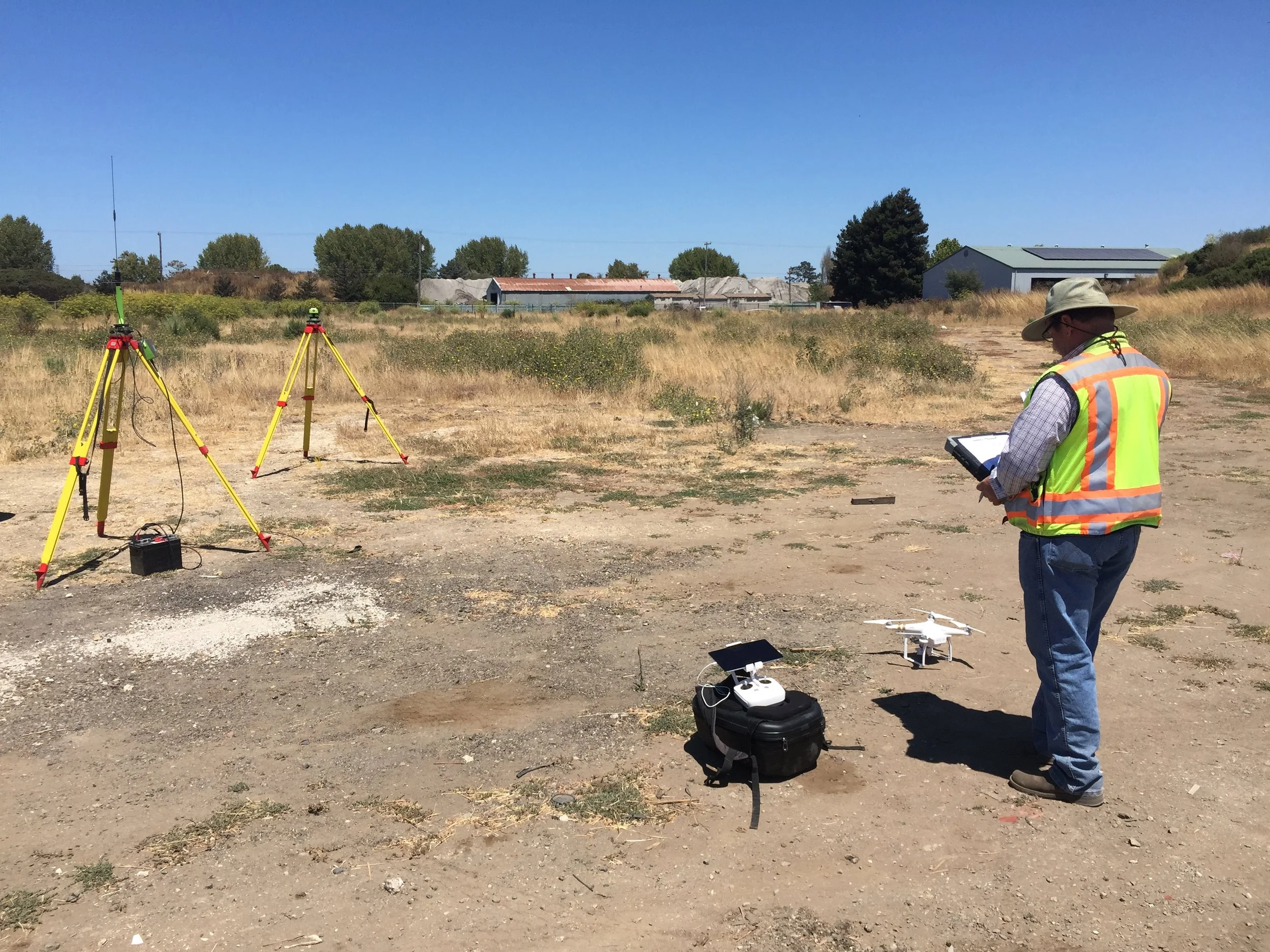
With dozens of land surveyors, civil engineers, and other mapping professionals using our drone mapping system on a daily basis, we have a great opportunity to learn about all the ways that a drone actually enables bottom-line benefit. In a guest column with Point of Beginning in April, we break down the four primary ways we hear back from our clients that a drone is improving their operations and making them more profitable: efficiency, protection, savings, and communication.
Most surveyors are familiar with the efficiency and savings benefits they can expect before they contact us: a drone reduces the time to create a topographic map by around 60%, and allows a surveyor to complete more jobs without having to pay an aerial photogrammetry contractor. However, once our clients start using our drone system on projects, they realize how significant the protection and communication benefits are as well.
Read an excerpt from the column on the value of a drone for protection and communication below, or the full article on the POB website. To learn more about our approach to drone mapping, visit the Aerotas Mapping System page or email us at info@aerotas.com
Can a Drone Make You More Profit?
Protection: Automatically collect more data
When using a drone on a project, a surveyor automatically collects substantially more data than typically done when using ground equipment. Rather than requiring the surveyor in the field to make a choice about every single data point collected, the drone creates a 3D model of the entire site. Since the surveyor has this geo-referenced data for the entire project site, the cost of a field crew missing a survey shot is substantially reduced. Even if they do miss a shot, it can often be collected from the 3D model in the office, rather than requiring traveling back to the site.
This automatic data collection offers other benefits as well. Completing follow-up jobs for clients becomes even more profitable. For example, a field crew with a drone can collect data on several adjoining sites simultaneously in one visit, meaning that if a client later requests surveys of those other sites, they can be completed without another field visit.
Communication: Help clients “get” a project sitE
Many of our more experienced clients have learned that one of the most significant benefits of using a drone is how drone deliverables help engineers, clients and other stakeholders understand a project site. A surveyor may produce a thorough survey map, but if the recipient is not also a surveyor, they may not understand that map well enough to be confident making decisions based on it. As a result, many firms suffer efficiency losses because engineers feel the need to travel to a project site in person to “get a feel” for the site. Though many firms use Google Earth to help engineers and clients understand a site, that imagery is low resolution and often out of date. High-resolution orthophotos and easily shareable 3D models from a drone make it much easier for the recipients of a survey to understand what they are looking at and make decisions without an unnecessary field trip.

