POB Column: Selecting a UAV Georeferencing Option
With Aerotas' position as the preeminent provider of drone solutions for land surveyors, we constantly field questions from surveyors about various components of drone technology. Given that we are constantly conducting R&D on all aspects of drone survey components, we are happy to share our analysis with the survey community. We take great pride in the fact that we are completely independent, which gives us the freedom to choose the best tools and products to provide to our customers.
This is the third in a three-part series in Point of Beginning magazine, covering our analysis of the key components of drone surveying technology that we get the most questions about. This article covers georeferencing options, or how to make sure your drone data accurately represents what's actually on the ground.
A lot of surveyors understandably assume that the right answer is to have a survey-grade GPS -- RTK, PPK, or "Direct Georeferencing" -- system onboard their drone, since those are similar systems to what they use in conventional surveying. There are certainly some types for which those high-accuracy GPS systems are the right fit, but for most surveyors and most projects, they are too expensive and much too complex to be worth the investment. Instead, relying on ground control to georeference data from a drone with standard GPS involves many fewer sources of potential error, and is much less expensive to boot.
We are excited about high-accuracy drone GPS, but for most surveyors right now, it's not a great investment. Read an excerpt from the article, focused on drone RTK, PPK, and DG below, or read the full article at POB's website to see our analysis of other sensor options. If you're ready to start getting industry-best accuracy with ground control, visit aerotas.com/drone-survey.
High-Accuracy Onboard GPS: RTK, PPK, or DG
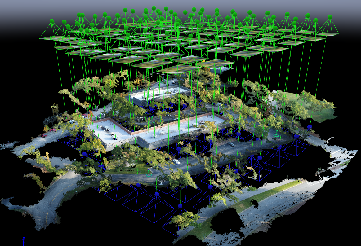
Some boutique manufacturers offer drones that have survey-grade dual-band GPS receivers onboard, either RTK or PPK. By referencing a GPS base station or network correction data, the photos can be tagged with an extremely accurate location. There are also some manufacturers that include high-accuracy IMUs (inertial measurement units, or accelerometers), which can be integrated for an additional layer of location data – sometimes called Direct Georeferencing. The RTK/PPK GPS receivers record their accurate location along with time stamps constantly during the flight, so when the photos are processed, the location of each photo can be pulled from the GPS by matching time-stamps. It is important to note that currently, DJI’s RTK systems (on the M200 or M600 series of drones) are only designed for navigation and are not feasible for use in survey-georeferencing.
The main benefit of using RTK/PPK is that it reduces the amount of ground control needed. By having highly accurate photo locations, more photos can be “bridged” between ground control targets, meaning the distance between targets can be stretched, reducing the required density of targets. As a very rough rule of thumb, a good RTK/PPK system with a dialed-in workflow could reduce required number of targets by ¼ compared to a standard GPS drone, though a minimum quantity is still required for calibration and QA/QC. On very large projects, this can translate to substantial field-time savings.
The main drawbacks are cost and complexity. Whereas a very inexpensive drone can be used with ground control to get 0.1’ accuracy, a good RTK/PPK drone will often cost $20,000 at minimum, and easily up to $70,000. Using RTK, PPK, or DG on a drone requires a very complex combination of systems and data. The onboard GPS and/or IMU must be very precisely timed to the camera shutter, then the photos must be matched to the individual locations in post-processing, then coordinate systems have to be matched to ensure the drone data matches ground-shots. The complexity and work involved in matching coordinate systems alone cannot be overstated: while it is certainly achievable, it adds a substantial amount of work and room for error in the data processing. All of these steps translate to more potential sources of error, which are unpredictable, compound, and require a lot of work to mitigate. Getting to 0.1’ accuracy is doable but requires considerably more work than relying exclusively on ground control.
For particularly large projects, or on sites where fieldwork is challenging (unstable slopes after a mudslide, for example), and for teams with significant drone experience, a high-accuracy onboard GPS may be a good fit. For most survey work, though, it is more complex and expensive than is a good investment. Since some ground control is always needed, and the marginal additional cost of setting more targets is minimal, in most cases using a simple inexpensive drone and ground control is the best bet.


