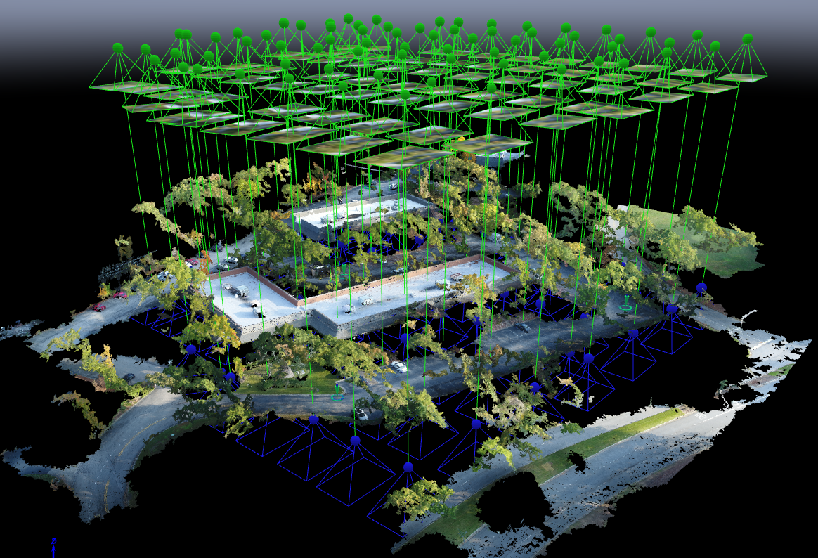
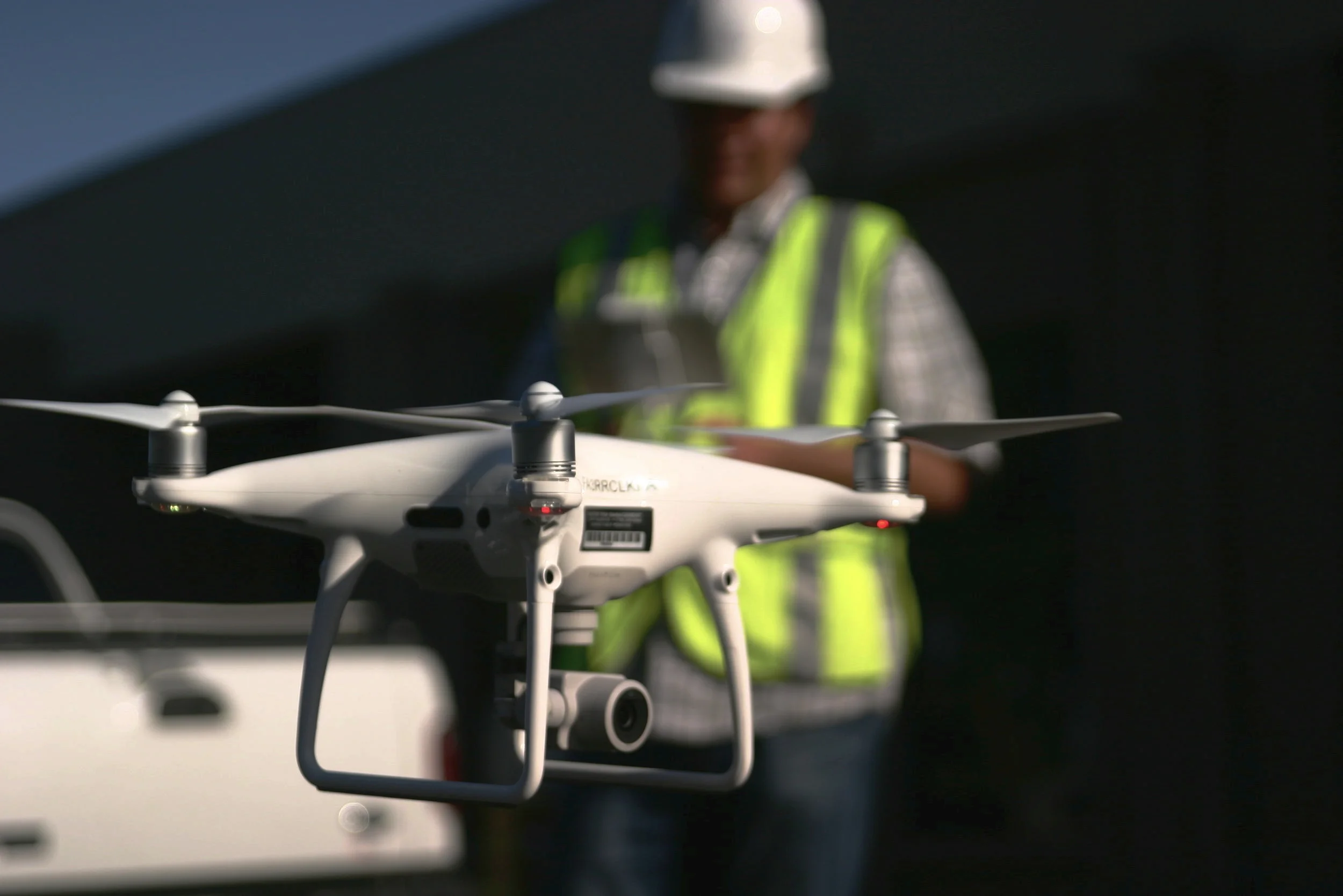
With Aerotas' position as the preeminent provider of drone solutions for land surveyors, we constantly field questions from surveyors about various components of drone technology. This is the third in a three-part series of articles in Point of Beginning magazine, summarizing our current analysis on key components of drone survey technology. This article focuses on the georeferencing options we most commonly get questions about -- particularly high-accuracy RTK, PPK, or Direct Georeferencing systems.
Commercial UAV News: Surveyors and Other Professional Drone Operators Should be Focused on Accuracy and Reliability
In a guest article on Commercial UAV News, Aerotas co-founder Daniel Katz discusses some of the misconceptions Aerotas sees surveyors frequently bring to their drone program decision-making. Many surveyors often that they need to choose a drone billed as "professional grade," but What matters is accuracy and ROI.


