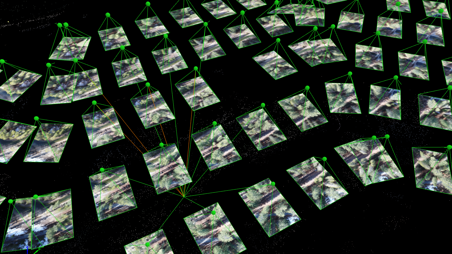
When the American Society of Photogrammetry and Remote Sensing (ASPRS) launched their Certified Mapping Scientist-UAS certification, Aerotas Founder Logan Campbell was among the first people to sit for the test. The intensive experience of studying, preparing, and taking the strenuous exam highlighted how challenging a verifiable understanding of photogrammetry is. However, the real-world experiences that Logan and the Aerotas team have with processing drone data for surveyors reveal the importance of this understanding in the real world.
Logan Campbell
Lidar technology for Land Surveying has been around for decades, but technological advancements have now made lidar more accurate, reliable, and affordable than ever before. At Aerotas, we've been processing aerial lidar data for years. In this article, we go through all of the different capabilities and processes necessary to get high quality survey deliverables from your lidar data.

Eric Seger
On 10/10, DJI announced the Zenmuse L2. We believe the new L2 will offer exceptional technical improvements over both the L1 and the current mid-tier sensor market. We’re excited to share what we know about the delivery timeline, and how we view the technical specs.


