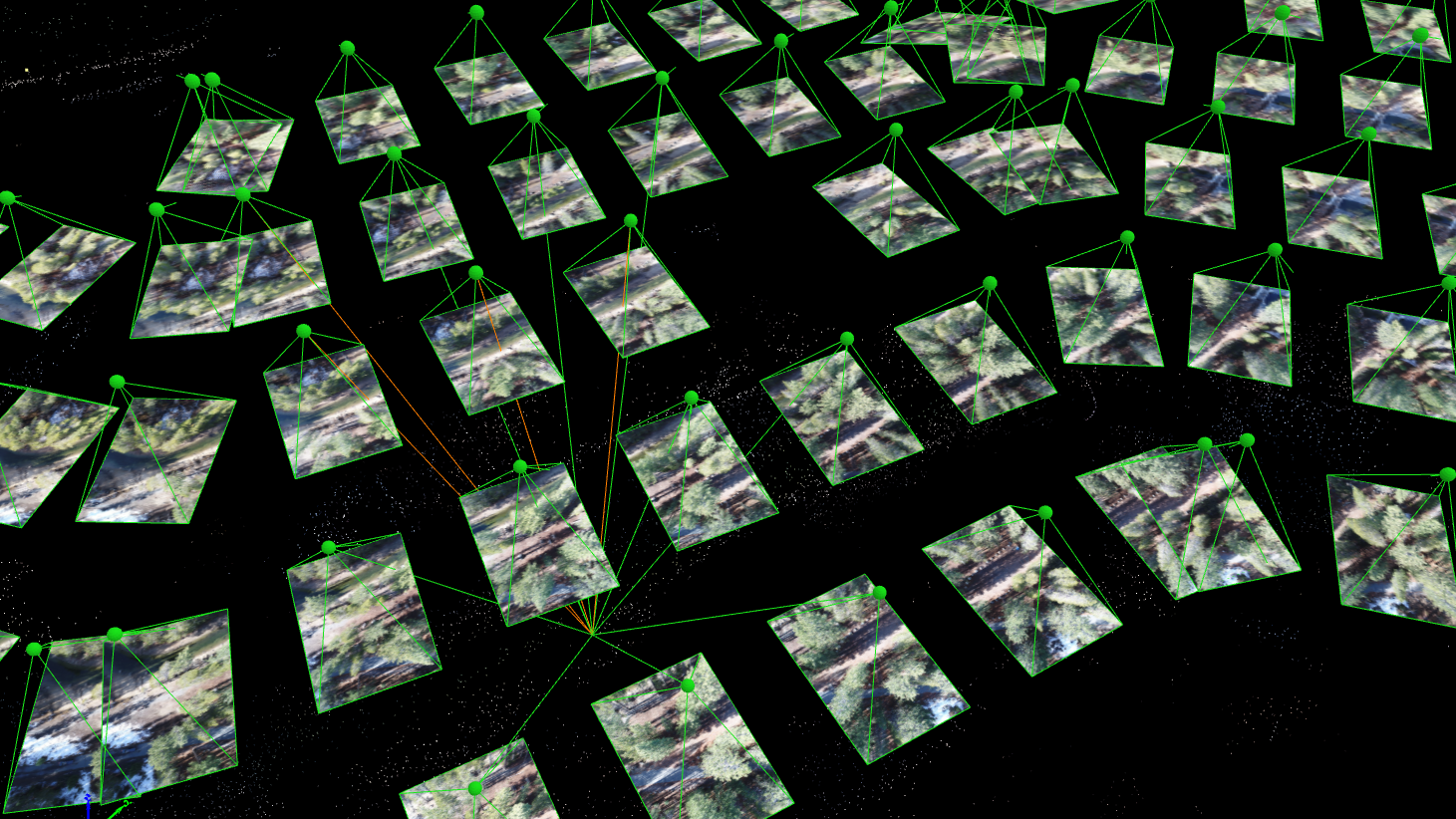
We have processed thousands of drone survey projects for our customers, and we have learned the hard way why photogrammetry is a Ph.D. level science. We have banged our heads against every wall there is, and learned some valuable lessons that we now apply to every project we complete for our customers.
POB Column: It Matters Who Processes Your Drone Data
When the American Society of Photogrammetry and Remote Sensing (ASPRS) launched their Certified Mapping Scientist-UAS certification, Aerotas Founder Logan Campbell was among the first people to sit for the test. The intensive experience of studying, preparing, and taking the strenuous exam highlighted how challenging a verifiable understanding of photogrammetry is. However, the real-world experiences that Logan and the Aerotas team have with processing drone data for surveyors reveal the importance of this understanding in the real world.


