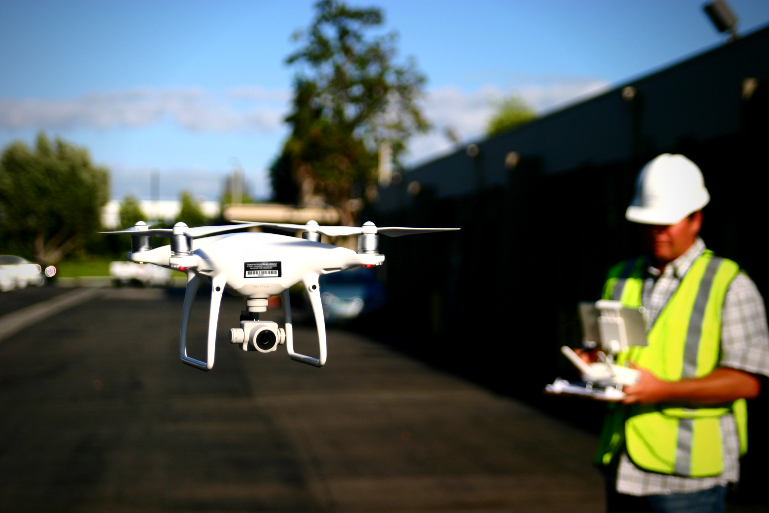
Survey conferences from all over the country tend to cluster in the winter months. So, Aerotas bundles up and heads out into the cold to share lessons learned from processing thousands of drone survey projects. While the number of surveyors who use drones continues to grow, there are still a handful of questions that keep cropping up at almost every survey conference. In this article, we will answer the most common questions about drone surveying from this year’s conference season.
Announcing New Online Training Courses!
The New Aerotas Drone Surveying Checklist
The newest version of our checklist is smaller, laminated, and designed to always stay with your drone kit. The checklist will be used along side a paper companion flight log that is now longer so that it can record information about more of your flights. The old checklist was a single piece of paper that combined both the checklist and the flight log; you used a single checklist for each flight. Now, one checklist can be used across multiple flights, and the flight log can hold more information.
Spring Cleaning: Keeping your drone airworthy
In order to maintain reliability in our UAS, we need to inspect and update our equipment on a regular basis. After a long winter, or prolonged bad weather, or even just lack of suitable jobs for the drone, it is important to thoroughly run through all of your system and visual checks before firing up the drone for a client mission.
Aerotas Flight Operations
When you use Aerotas to process your drone data, you immediately get access to our Flight Ops team. The sole responsibility of Flight Ops is to guide your mission planning and data collection process. This will ensure that you are successfully planning missions, setting UAS-specific ground control, and getting the most accurate results possible from your drone-collected data.
How to use drones to help rebuild after a fire
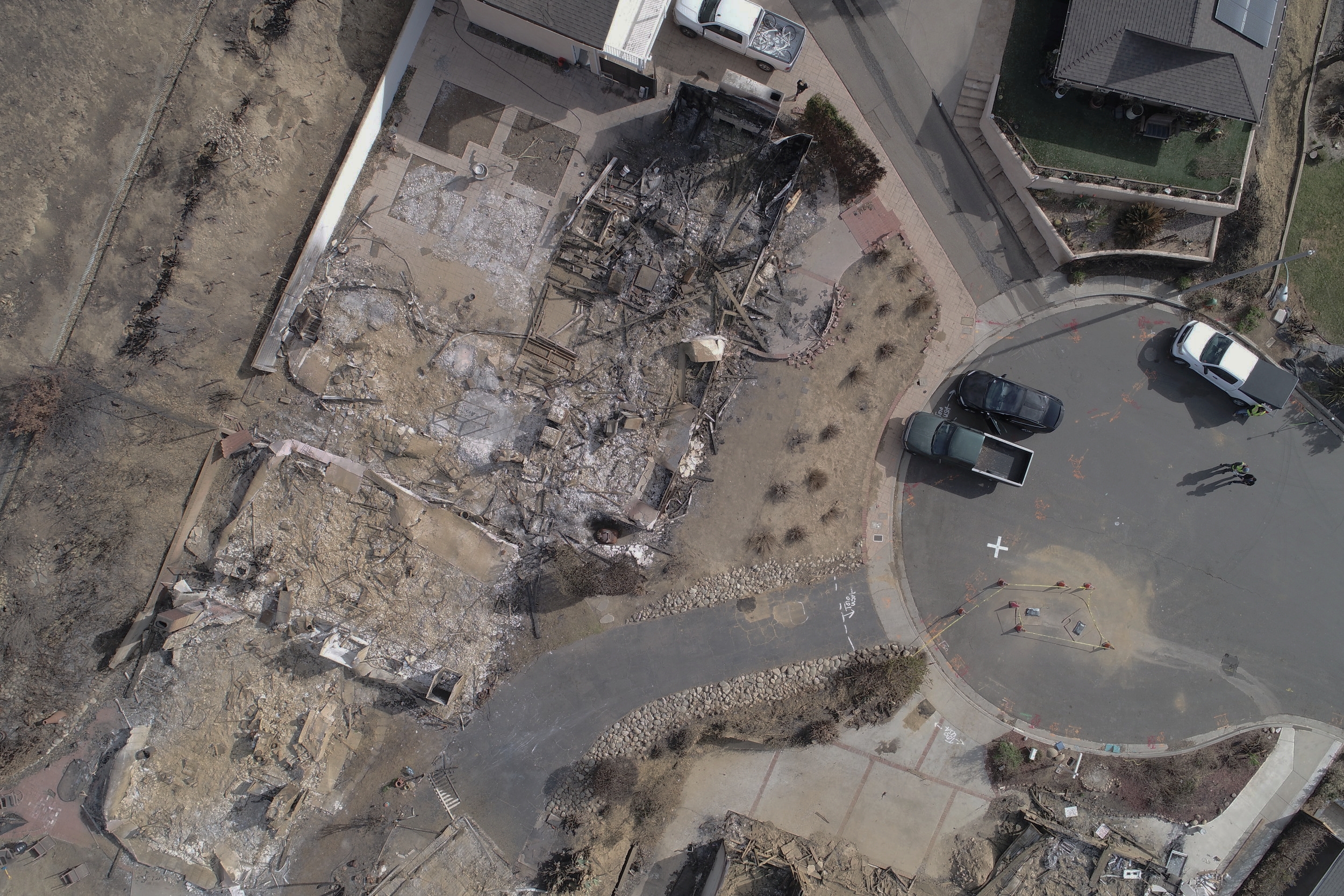
Rebuilding homes after a natural disaster like a wildfire can be tough. And while it’s hardest on the homeowner, it can be a difficult process for those who have to work on the project as well, including land surveyors. Thankfully, drone technology can help make this process smoother. This article details the technical process for how Aerotas client WM Surveys is using their Aerotas Mapping System drone for land surveying after a wildfire.
How drones are helping rebuild after the California wildfires
The recent California wildfires destroyed thousands of homes, leaving many people struggling to get back on their feet. Rebuilding after such devastation can take years, adding heartache and financial strain on already troubled families. Thankfully, drone technology is making this process smoother. A good drone program can make much of the rebuilding process easier on homeowners, land surveyors, and many other parties involved in getting life back to normal. WM Surveys in Ventura, working with the Aerotas Mapping System, is helping to do exactly that.
How a drone survey accidentally saved us $600
Anyone that has worked in large public areas before knows that there is always a risk of theft, vandalism, or loss of equipment. It is simply an unfortunate part of the job, as it often costs more to protect the equipment than to simply replace it. This was the situation I was in at the end of a drone survey earlier this week, and it put me in a pretty awful mood. After our flights were completed, I walked the site to pick up our ground equipment only to discover that one of our $600 GPS-enabled aerial targets had vanished without a trace.
POB Column: The Drone is the Easy Part
POB Column: Define Your UAS Operations
Many surveyors purchase a drone and start using it without ever considering the importance of having clearly-defined operations -- goals, procedures that ensure those goals are accomplished with a minimum of risk or loss, and training to ensure staff are competent at following those procedures. In our most recent article in Point of Beginning, we cover the 3 operations areas that need to be optimized for a drone surveying program to be as successful as possible.


