Aerotas Flight Operations
Aerotas Flight Operations
The Path to Success Begins Here
Flight Operations Helps You Get the Most from Aerotas
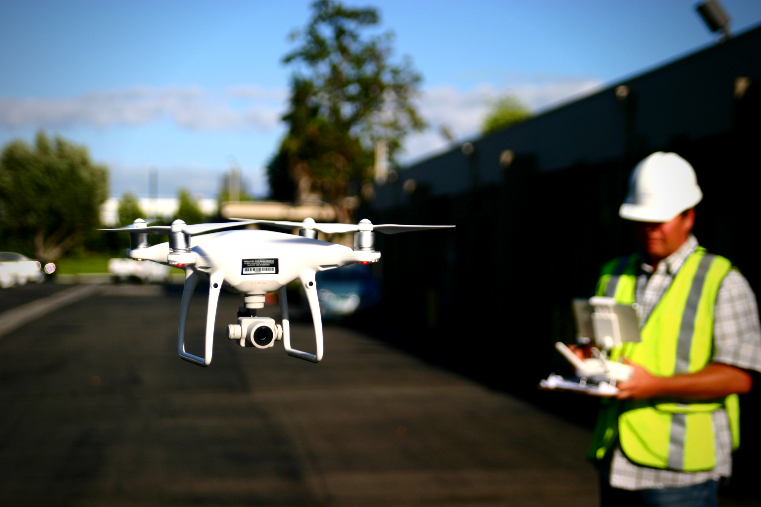
When you use Aerotas to process your drone data, you immediately get access to our Flight Ops team. The sole responsibility of Flight Ops is to guide your mission planning and data collection process. This will ensure that you are successfully planning missions, setting UAS-specific ground control, and getting the most accurate results possible from your drone-collected data.
Flight Ops can help with:
The Basics:
GCP best practices
5 targets per battery
Corners of project + middle
1 flight line beyond each side
Obvious center point
Visible from all angles
Flight plan best practices
Lawnmower flight path
75% / 75% overlap
Nadir only, no obliques
Our Flight Ops team is comprised of pilots who have overseen thousands of projects. Aerotas always makes accuracy recommendations after the data has been processed. But, now you can get advice before you fly. Getting a second opinion on a mission can increase the likelihood of collecting good data with fewer fieldwork man-hours. Getting it right the first time also helps you avoid re-visits.
Bad ground control distribution negatively impacts the accuracy of the model.
Get advice on your entire field operations workflow:
Survey ground data
GCPs / Checkpoints
Obstructed areas
Emergency procedures check
Mission loading procedures
Running an operation
Data handling procedures
Data copies / storage
Transmission
Processing
Check for site restrictions
Airspace
Obstructions
TFRs
Check weather forecast
Advise on the creation of flight plans
Equipment packing checklist
Equipment settings
Aircraft / Equipment Inspection
How it Works
1) Create a KMZ of your site
Create a Google Earth File (KML/KMZ) with a polygon outlining the area where you intend to fly. The Google Earth File will get us on the same page. E.g. we can mark recommended locations for your ground control points and send it back to you.
ProTip: Create a New Polygon, NOT a New Path
>> Creating a KML/KMZ with Google Earth
2) Send the KMZ to Flight Ops at FlightOps@aerotas.com
3) Get advice on your mission
Questions? Contact us anytime at (949) 335-4323, or info@aerotas.com


