

Do you need Aerial Lidar for Survey?
Before taking the plunge into the world of drone Lidar data collection you should thoughtfully consider the following points/questions to determine whether a drone-based Lidar system is worth the added cost over photogrammetry systems for your surveys.
Photogrammetry vs. Lidar - What’s the difference?

Photogrammetry relies on RGB photos (jpegs), taken in succession usually at a nadir angle, with overlap to produce an orthophoto. A single orthophoto may consist of tens, hundreds, or even thousands of individual jpegs stitched together. In photogrammetry, photos are stitched together based on keypoint matches - similar points from photo to photo that the software identifies as a match. When distinct matches can be made, an orthophoto can be made. The quality of that orthophoto depends on many factors, such as lighting, overlap, subject area, GCPs, RTK capability (or not), and camera specs just to name a few.
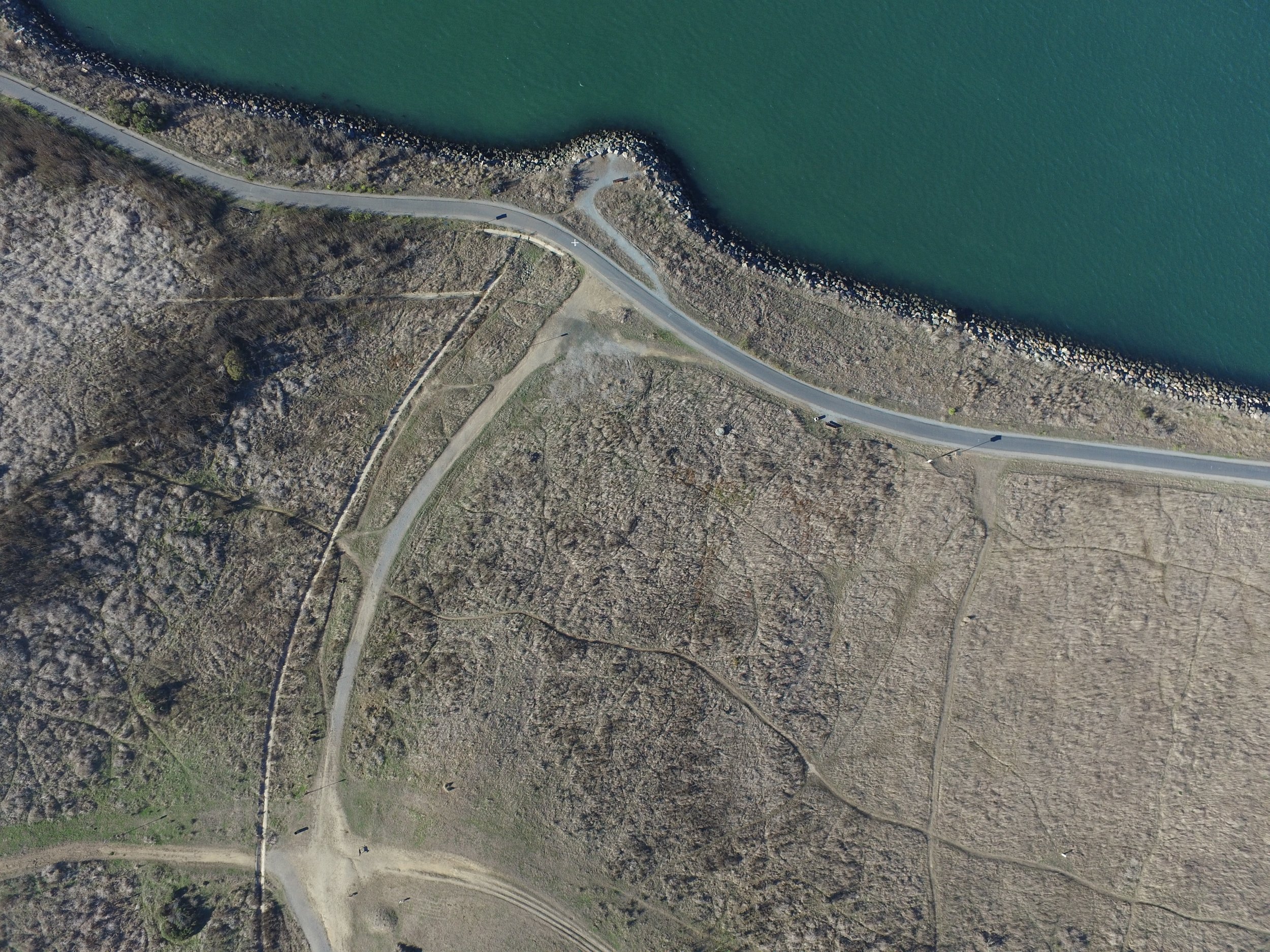
Example of a single nadir image that might be taken during a photogrammetry mission.
Lidar data, on the other hand, relies on laser pulses produced by the Lidar sensor. The sensor emits laser beams towards the subject area at a rate and pattern specific to whatever sensor is being used, but they all do the same basic thing. The sensor records each laser pulse that bounces back to the sensor, known as a “return”. Each return is recorded as a data point with an x,y,z value as the drone flies and ends up as part of a raw point cloud. Most Lidar sensors are capable of recording a quarter-million returns per second (and that’s on the low end). Due to the number of individual data points being recorded, it is almost always necessary to have RTK positioning capabilities to produce high-quality Lidar data. Lidar quality depends on the RTK capability, GCPs, and the capabilities of the sensor itself. Unlike photogrammetry, Lidar does not depend on good lighting to produce good data. In fact, depending on the sensor, bright lighting can marginally decrease the quality of Lidar data.

Screenshot of a Colorized Lidar Point Cloud
If you flew the same site with Lidar and Photogrammetry, the end deliverable might look somewhat similar, but the process of getting there is completely different. Photogrammetry data starts with photos taken from the drone, which then get compiled together and run through photogrammetry software to create the orthophoto/DSM. It’s not until the photogrammetry processing is complete that a point cloud is produced from those keypoint photo matches mentioned earlier.
In contrast, Lidar data is initially stored as a point cloud with potentially billions of points as its raw output. The disadvantage here is that you virtually always end up with a ton more data than you probably actually need (you could potentially find the location of the 15th highest twig on a given tree if you’d like with a point cloud like this). The other disadvantage to Lidar is that it is almost always noisier, and less accurate than photogrammetry data in certain mediums. That being said, Lidar definitely has its utility in areas where photogrammetry just doesn’t cut it.
Vegetation Penetration
As mentioned earlier, photogrammetry relies on point matches from photo to photo in order to produce a complete orthophoto. There are certain surfaces, such as tree canopies, tall grain fields, scrub brush, and other ground obscuring, homologous surfaces that make it almost impossible for a keypoint match to be accurately made from photo to photo. This is where Lidar data has a huge leg up on photogrammetry data.
Since the Lidar data isn’t relying on any sort of matching to represent the subject area, it simply needs a viable surface to “bounce” its lasers off of. This is an important distinction because while a photogrammetry drone can only map what it can see from photo to photo, a Lidar drone just needs to get one laser beam to bounce back off of the ground at any given time to represent the ground in the point cloud. This is the main advantage of Lidar over Photogrammetry in vegetated areas.

Cross-section of Lidar (Blue) vs. Photogrammetry (Green) in a heavily vegetated creek bed.

Another cross-section view of Lidar penetration beneath trees.
On that same note, most Lidar sensors will have the ability to record “multiple returns”. This means that every laser pulse has the ability to record not only the first surface it impacts, but the second, and even the third, fourth, or fifth, etc. depending on the sensor you’re using. The more returns being recorded per pulse, the better the vegetation penetration will be in virtually all cases.
If you plan on mapping moderate to heavy vegetation, Lidar will be the best aerial tool for the job. Otherwise, ground shots should be taken traditionally beneath the vegetation to accurately represent the surface.
Hardscape/Vegetation Free Mapping
If most of your sites are clear or have generally sparse vegetation/tree cover, photogrammetry will probably be your best bet. Photogrammetry data tends to be of higher quality than Lidar data on visible hardscape features due to the ease of keypoint matching on most hardscape features from photo to photo, and having less noise than Lidar. If you’re flying in an open urban environment, a shopping center, or even a housing tract without many trees and brush, Lidar may not be the best tool for the job. For a more in-depth analysis of this lidar vs. photogrammetry subject, please check out our blog posts about DJI L1 and L2 data.
If most of your projects are free and clear of vegetation and everything can be seen that is needed from photo to photo, a Mavic 3 Enterprise RTK will be a better investment than an M350RTK and L2 for example.
Powerline Mapping
If your drone survey project requires actual x,y, and z locations of the powerlines themselves, lidar is a MUST. Powerlines themselves are almost never accurately represented in a photogrammetry model. Powerlines are often too thin and ambiguous to create reliable keypoint matches necessary for accurate photogrammetry.
Lidar, as mentioned, just requires a laser to bounce off of the wire and back to the sensor to create a data point on the wire.
If you do powerline mapping, Lidar should be your top consideration.

Powerlines captured in L1 Lidar Mission
Key Takeaways
Lidar is probably a good choice for Survey if:
Many of your prospective sites have tree/brush cover where photogrammetry would not adequately extract good surface data
You need to survey x,y,z powerline locations.
Lidar might not make sense if:
Your project sites are typically cleared or very sparsely vegetated