Save time
Remove the slowest office-production steps so your team can move from flight to final deliverable faster.
Land Surveying
Aerotas helps land surveyors turn drone data into accurate CAD deliverables faster, without taking on the overhead of building a full in-house photogrammetry and drafting operation.

Aerotas gives licensed survey firms a complete production solution they can plug in immediately to remove drone-processing bottlenecks, increase throughput, and keep projects moving without building the entire photogrammetry and drafting operation in-house.
We turn drone-collected data into deliverable-ready outputs that fit established surveying workflows, including drafted linework, surface deliverables, orthophotos, and project-specific packages with the consistency and QA discipline firms need to operate at full capacity.
Remove the slowest office-production steps so your team can move from flight to final deliverable faster.
Add dependable production support when backlog spikes or project volume grows, without committing to more full-time overhead first.
Use Aerotas as a dependable overflow layer when in-house processing becomes the schedule risk on active jobs.
Receive deliverables built for real professional use, with structured workflows, expert review, and QA discipline that supports dependable data quality.
Project-based quoting lets your team scale support up or down depending on workload, deadlines, and project type.
Aerotas works inside the reality of land surveying practice, where professional judgment and final responsibility stay with the surveyor of record.
Choose the scope that fits the job instead of forcing every project into the same deliverable package.
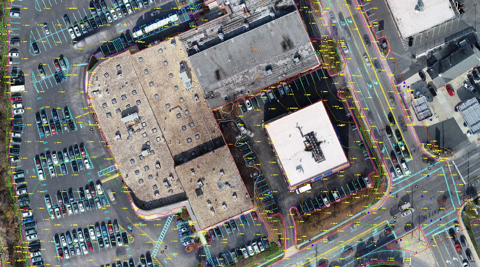
Survey-grade CAD linework prepared from drone data for practical surveying and engineering workflows.
Learn More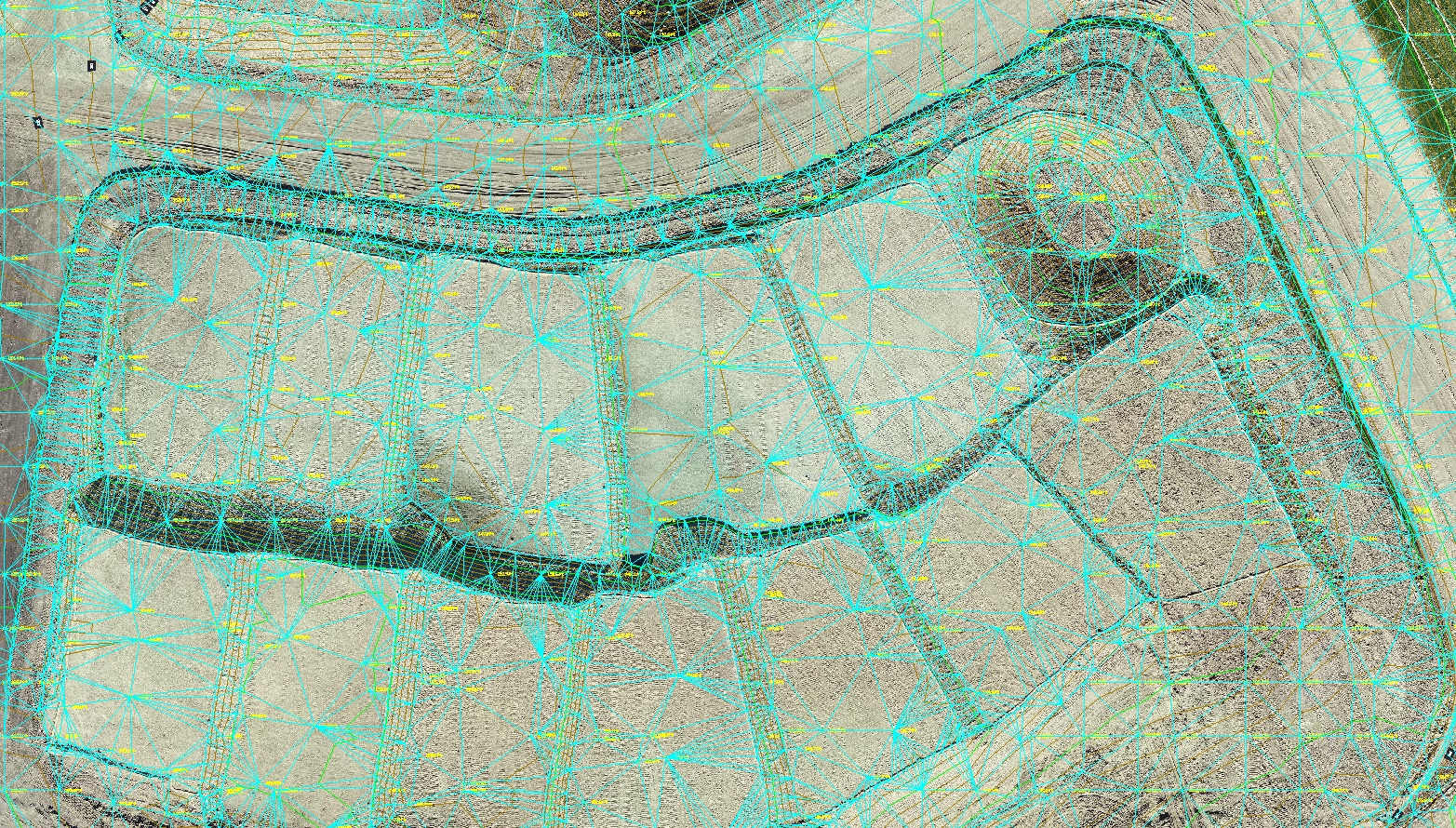
Processed terrain models and clean topographic surfaces for teams that need topo without full linework scope.
Learn More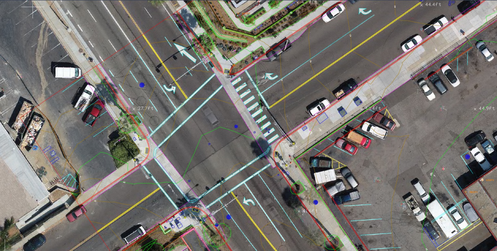
Deliverable support for projects that need drafting structured around ALTA / NSPS expectations.
Learn More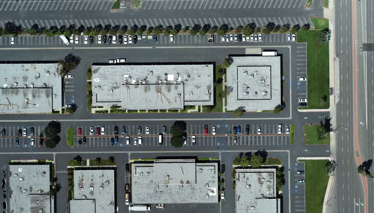
Orthomosaics, point clouds, and surfaces for teams that want to keep more of the downstream drafting in-house.
Learn MoreEvery project is quoted individually and delivered on a per-project basis. That keeps the scope aligned to the actual work instead of locking survey firms into subscriptions, credits, or long-term commitments they may not need.
Aerotas is not a licensed land surveying firm and does not offer professional land surveying services where licensure is required. Final certification, interpretation, and professional judgment remain the responsibility of the licensed surveyor or engineer of record, as applicable.
The purpose of the service is to help licensed professionals finish their deliverables faster with dependable production support, not to replace the role of the surveyor.
If you are comparing products for an active job, the fastest next step is to request a quote with the project boundary and deliverable target attached.