Lidar data does not arrive as a finished deliverable. It has to be corrected, aligned, classified, checked against control, and translated into something you can actually use.
A core discipline for many projects
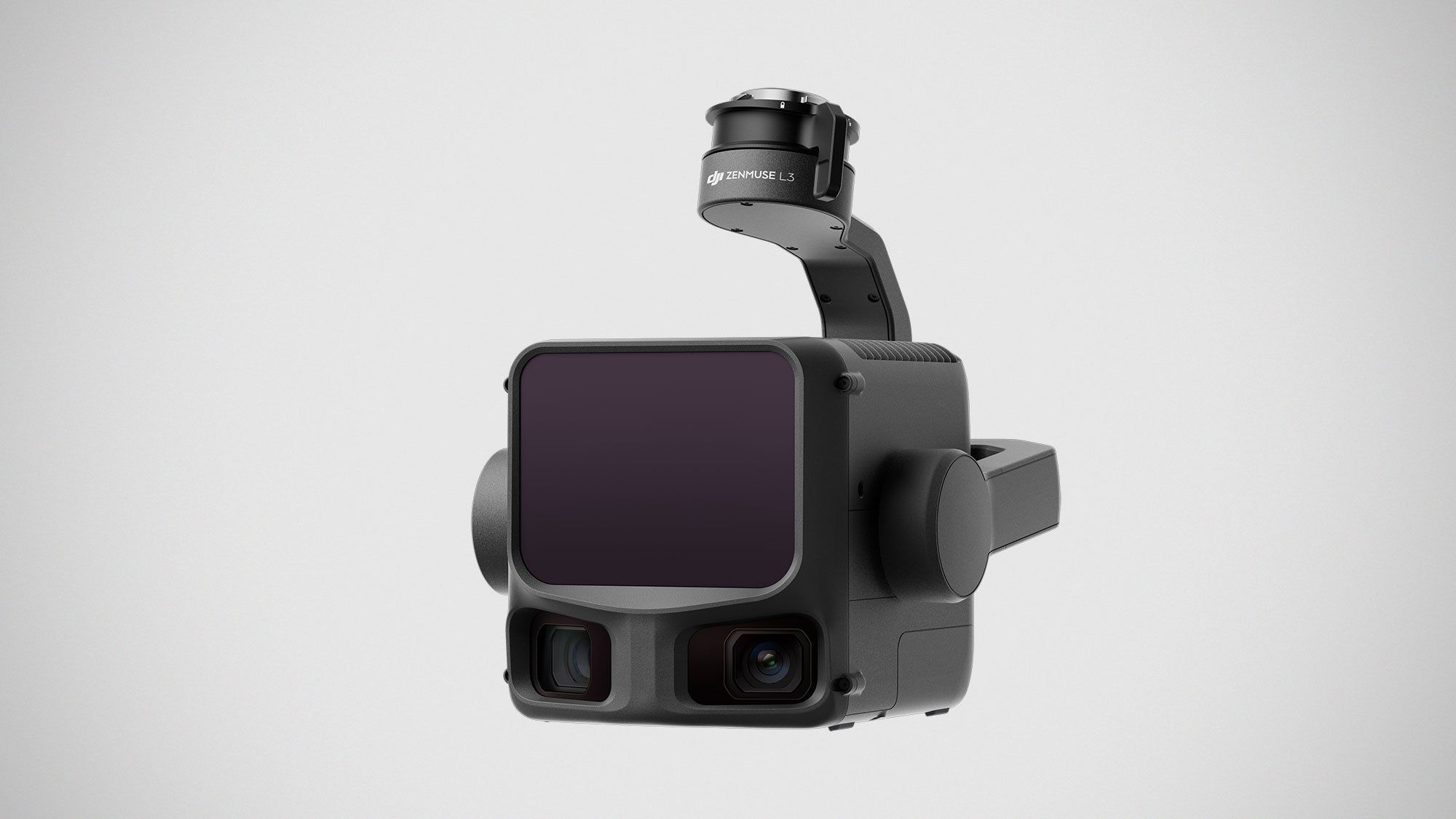
Lidar is valuable when the site needs surface extraction under vegetation, powerline mapping, or more obscured data that photogrammetry alone doesn't capture well.
Workflow Expertice is Critical
Trajectory handling, IMU and GNSS quality, calibration, noise management, and classification all affect the final result. Errors can enter at several points, and they often require experienced review to catch and correct.