Accuracy is driven by the whole workflow, and GNSS is one of the most important parts of that chain. Good imagery or lidar cannot rescue a weak positioning workflow.
Why GNSS matters so much
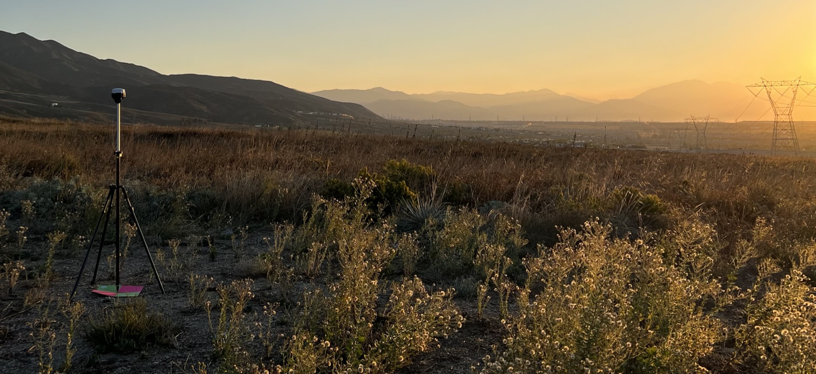
Differential GNSS, RTK, and PPK workflows help localize the drone data, reduce error, and make larger projects more reliable. They can also reduce dependence on dense ground control layouts, especially when the project is difficult to access.
Why it still does not eliminate control
Even strong RTK or PPK does not remove the need for control and checking. Real-world projects still need ways to calibrate, localize, and detect error.