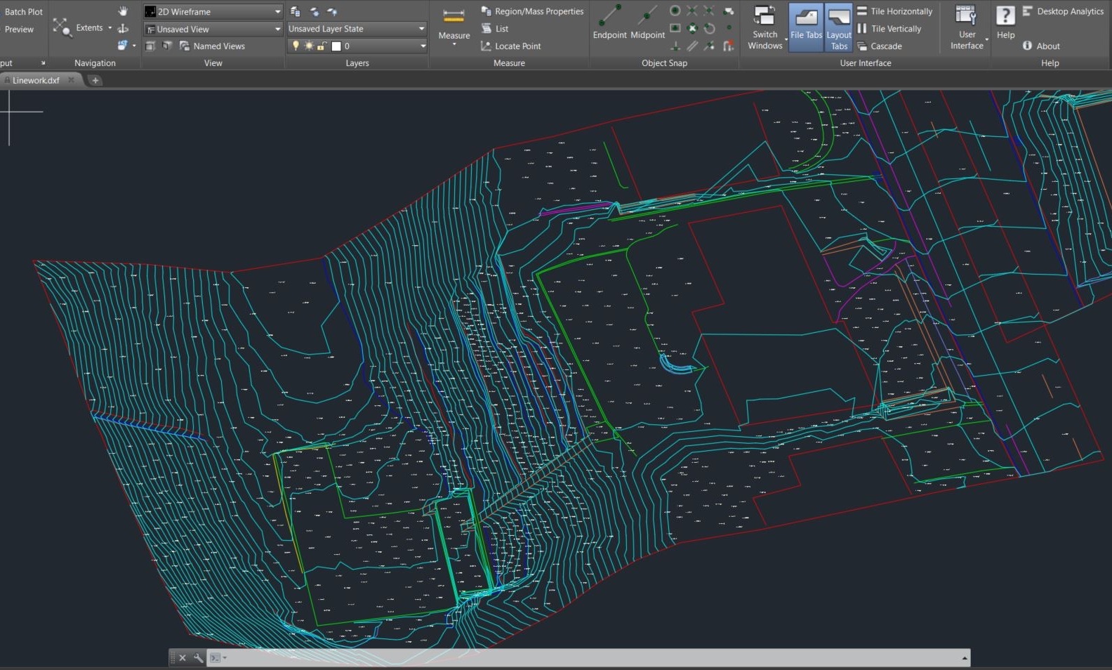
Aerotas breaks the workflow into understandable steps, but you experience it as one thing: a final map. That deliverable only works when the mission planning, GNSS, processing, classification, surface modeling, and drafting all support each other.
What the final map needs to do
It should be lightweight enough to use, accurate enough to trust, and organized enough to fit into your existing CAD or GIS workflow.
Why Aerotas focuses on workflow integration
Better workflows produce better results. The final map output, whether it's our standard Civil3D .dwg package or a PLS-CADD friendly .bak file, is the culmination of our technological capabilities and workflows. Advanced tooling, expertise, and workflows combine into a repeatable production system that ends in a map you can work with immediately.