A drone is one more tool in the survey workflow, not a replacement for conventional surveying. Total stations, levels, and ground-based GPS still handle many tasks that a drone cannot do well enough or cannot do legally.
What drones change is the speed of broad site capture. On the right site, a surveyor can fly the area, build a complete visual and topographic record, and then focus ground effort on the points that need the highest precision.
What traditional methods still do best
- High-accuracy critical shots. Building corners, ADA ramps, monuments, rail, and other tolerance-sensitive features are often better handled conventionally.
- Areas hidden from the air. Trees, overhangs, utilities, and obscured corners still require field observation.
- Boundary and legally sensitive work. In most jurisdictions, property boundary evidence and similar work still must be surveyed on the ground.
The final responsibility still sits with the licensed professional and the methods they choose.
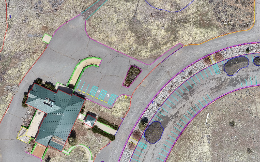
What drones do better
On the right sites, drones are extremely efficient at collecting a complete record of visible conditions. Open topography, striping, pavement edges, stockpiles, disturbed earth, and other broad-area conditions can often be captured much faster than by hand.
The main value is field efficiency. A short flight can replace the time-intensive process of walking a large open area, even though the office workflow still has to be handled well.
A balanced workflow is best
Traditional surveying handles the precision work, and the drone handles the broad-area capture. A mixed workflow is usually the most practical and defensible way to use the technology.
A safe assumption is that if a point absolutely must be correct to the highest tolerance, the surveyor should make an intentional decision about whether the drone is appropriate for that point at all.
The combined field and office workflow should get you to a better final survey in less total time.
Common missteps
Many teams compare only field time and ignore office workload. A drone program that saves time in the field but creates far more processing and drafting burden in the office is not necessarily an improvement.
The real comparison is total workflow time and deliverable quality. The drone is useful when it helps you reach final linework, surfaces, and deliverables without creating a new bottleneck.
Bottom line
Traditional surveying remains the foundation. Drone surveying enhances it. Used correctly, the drone helps surveyors do more with the same team by reducing repetitive field effort, preserving a better site record, and supporting efficient production of topo and mapping deliverables.