Photogrammetry and lidar are both legitimate survey tools, but they solve different problems. LiDAR should not be considered a universal upgrade. For many sites, photogrammetry is still cheaper, easier to collect, easier to process, and easier to scale.
Where photogrammetry wins
Photogrammetry is usually the right choice on open sites with strong surface visibility. It performs especially well on hardscape, pavement, grading, and other projects where the main goal is high-resolution imagery, a clean surface model, and drafting context.
It also tends to be the lower-drag workflow operationally. The aircraft are often smaller, the field setup is lighter, the data footprint is lighter, and the processing stack is simpler for most firms to manage or outsource.
Where lidar wins
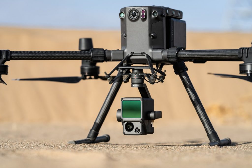
LiDAR becomes attractive when the subject matter cannot be seen reliably from imagery alone. Vegetated sites, power-line corridors, and projects with vertical complexity are where lidar most often justifies its additional cost and complexity. It does not magically solve every problem, but it can produce usable ground information where imagery-based methods struggle.
Rule of thumb: photogrammetry for hardscape, lidar for vegetation. If you do not need vegetation penetration or a lidar-specific use case, photogrammetry is usually the better business decision.