All Aerotas products include intermediate outputs based on the input data type; either Lidar, Photogrammetry, or both. Our drafted deliverables also include a final map file that you can open in CAD. Most users only download and work with the final map output because it's easy to work with, but all of the full resolution intermediate outputs are also available for download with every project.
Final Map . ZIP Files
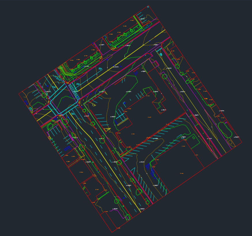
Linework Zip
- Imagery Backing (.ecw)
- Drafted Linework CAD File (.dwg)
PLS-CADD Zip
- PLS-CADD FILE (.bak)
- Point File (.csv)
- Imagery Backing (.ecw)
- FEA (if applicable)
- TIN
PLS-CADD Zip files are only delivered on Powerline Survey Projects, all other drafted deliverables receive the Linework Zip file.
Photogrammetry Intermediate Files
- Orthophoto (.tif)
- DSM (.tif)
- Point Cloud (.laz)
- CAD-Friendly Ortho (.tif)
- World files (.tfw)
Lidar Intermediate Files
- Lidar Orthophoto (.tif)
- Lidar Point Cloud (.laz)
- Lidar DEM (.tif)
- World Files (.tfw)
Aerotas is happy to deliver other file types as well on a case by case basis. Have questions about what we can do? Ask us!
Have questions?