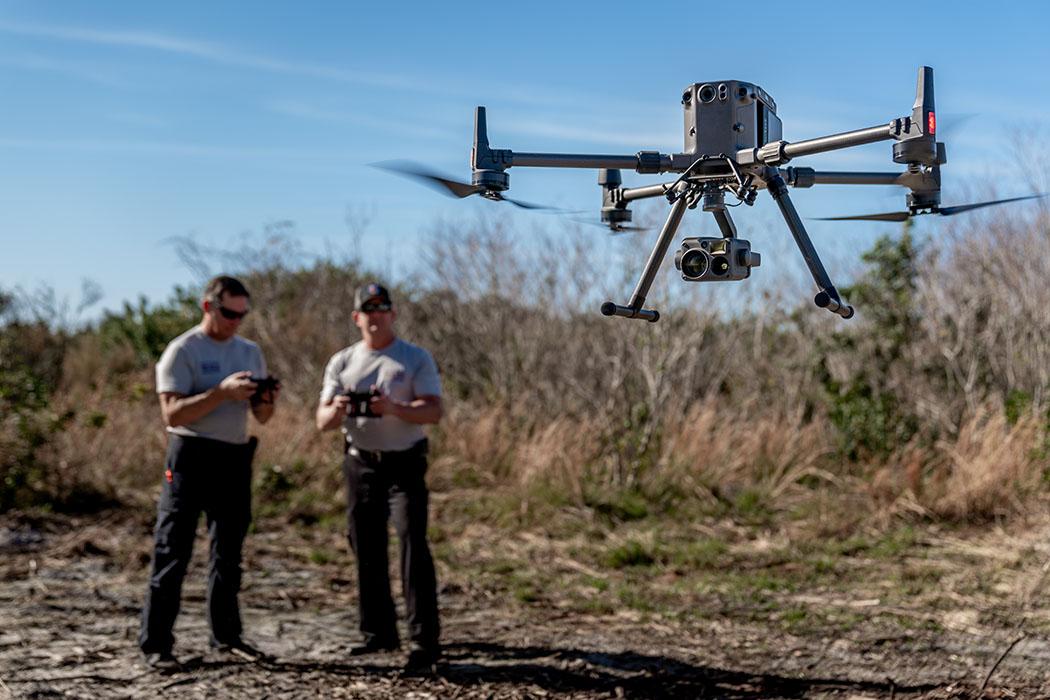
The strongest economic argument for drone surveying is that it saves time. Instead of spending days or weeks walking a large tract point by point, a crew can often capture the broad site record in a single visit and then focus conventional survey effort only where it adds the most value.
Where the savings actually come from
Drones do not eliminate survey work. They change where some of the work happens. The largest savings usually come from less time in the field, lower exposure to difficult terrain, and a more complete site record that reduces missed shots, and thus fewer return visits.
That makes a drone especially compelling the larger site is. A flight that takes about an hour can replace a large amount of broad-coverage field walking, even though control, checks, drafting, and final survey judgment still remain essential.
Why the office side still matters
The field savings are only valuable if the office can turn the capture into a deliverable efficiently. That is why the business case is tied closely to the full workflow: mission planning, GNSS control, processing, drafting, and QA. A drone program that saves time in the field but creates a bottleneck in processing is not actually cheaper.
How to think about project fit
Drones are strongest where broad site capture matters. Larger sites, recurring work, and projects where a complete visual record has value tend to show the clearest payoff. Small, constrained, or heavily obscured projects may still favor more conventional methods, especially when the data that matters most cannot be captured well from the air.