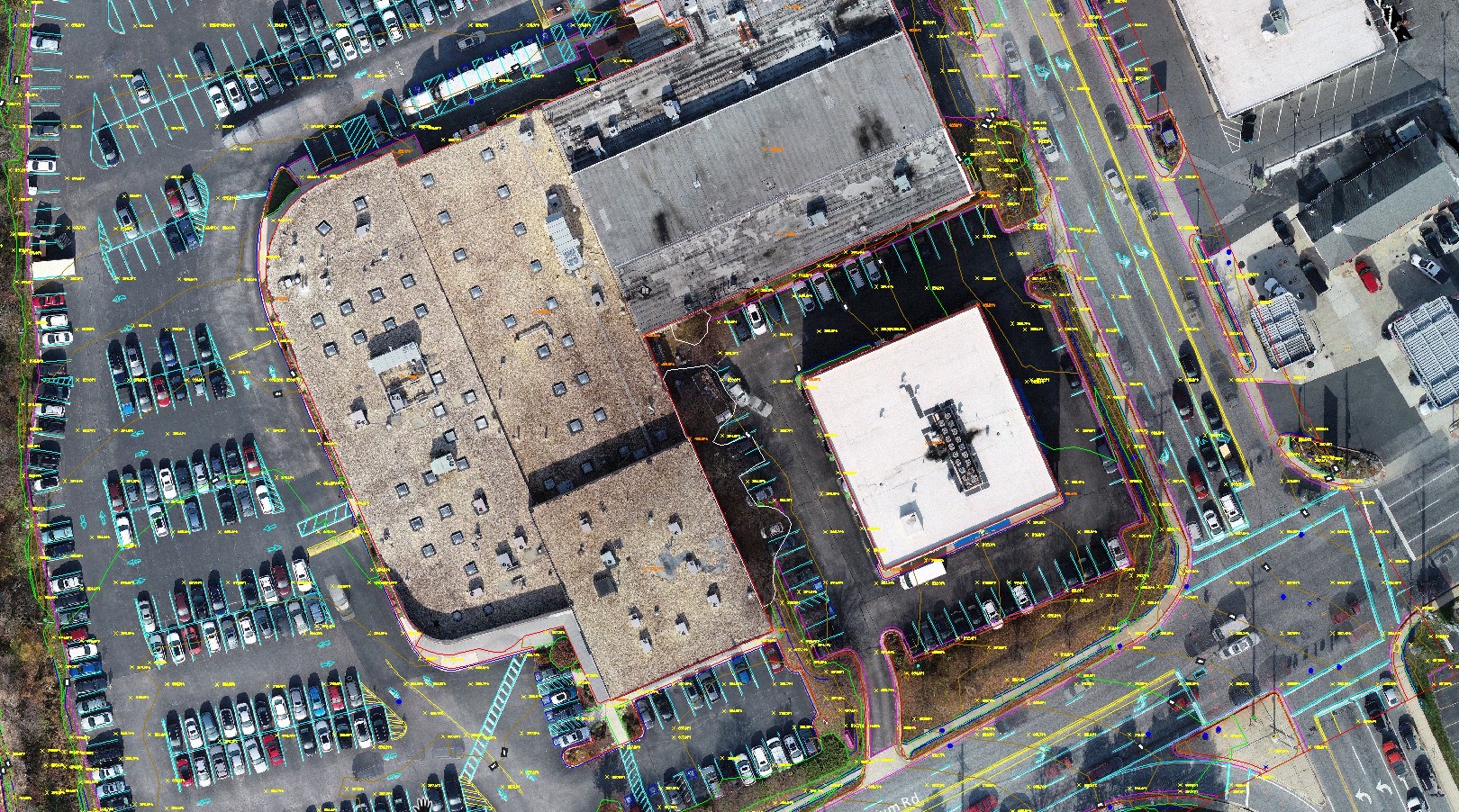
Full Linework Includes:
- Orthophoto and core photogrammetry and/or lidar outputs
- Clean topographic data with spot elevations, breaklines, contours, and a TIN surface
- Drafted visible features such as striping, pavement edges, utility lids, building outlines, and similar site detail
- A DWG-oriented package built for survey and engineering workflows
You fly the site. Aerotas handles the processing and drafting. If you need Aerotas to fly the site, create an Atlas project.
Best Fit
Choose Full Linework when you need a complete map package.
- You need both terrain and visible feature drafting.
- You want to reduce office production time, not shift it in-house.
- You need a dependable default scope for topo, existing-conditions, or as-built work.