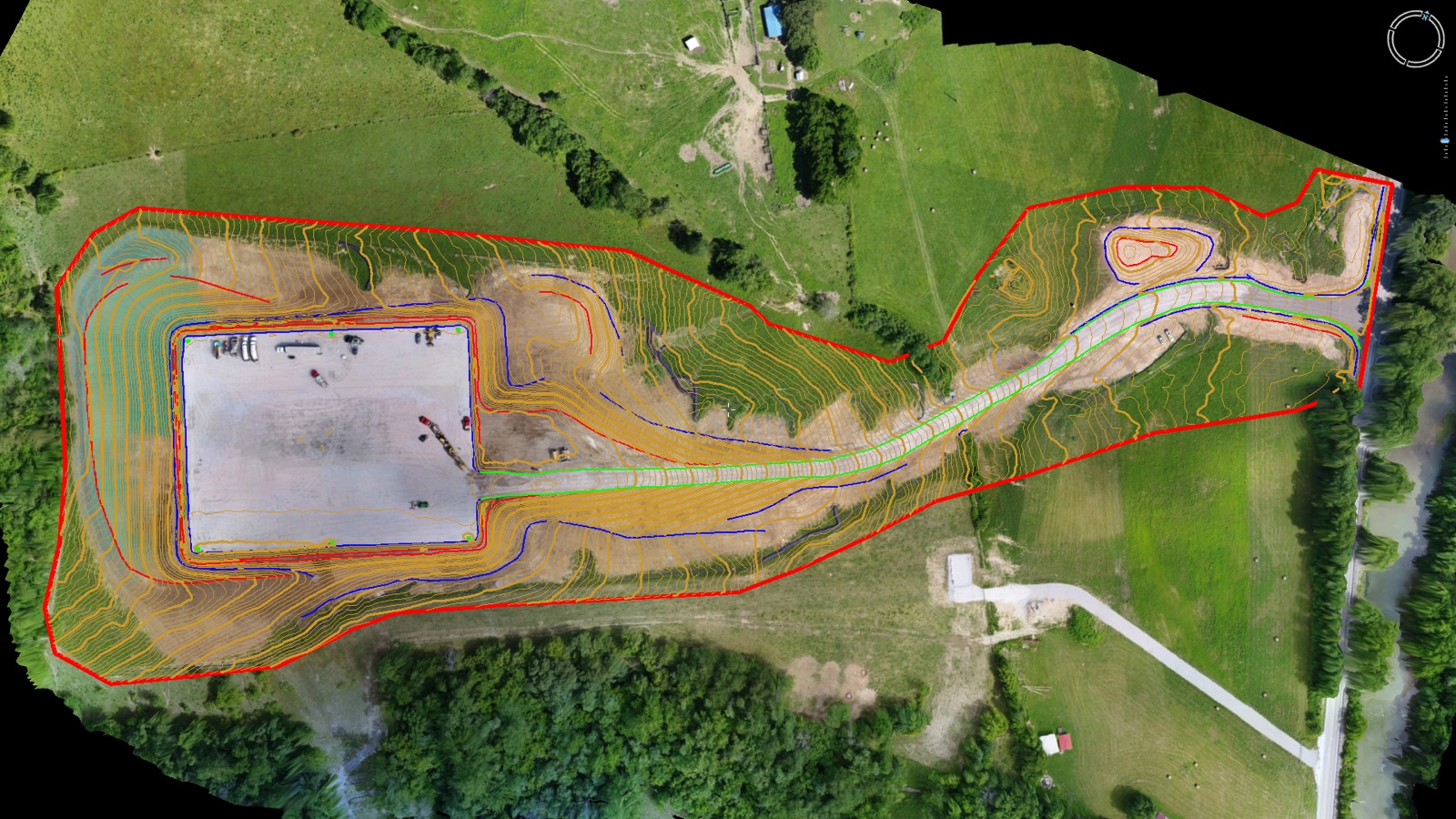
Clean Topo Surface Includes:
- Orthophoto and core photogrammetry and/or lidar outputs
- Clean topographic data with spot elevations, breaklines, contours, and a TIN surface
- A DWG-oriented package built for survey and engineering workflows
You fly the site. Aerotas handles the processing and topo drafting. If you need Aerotas to fly the site, create an Atlas project.
Best Fit
Choose Clean Topo Surface when contours, breaklines, and a usable surface are the actual deliverable.
- You need terrain, not a full feature-rich base map.
- You want a lower-cost scope than Full Linework.
- You still want a cleaned, drafted topo product rather than raw outputs.