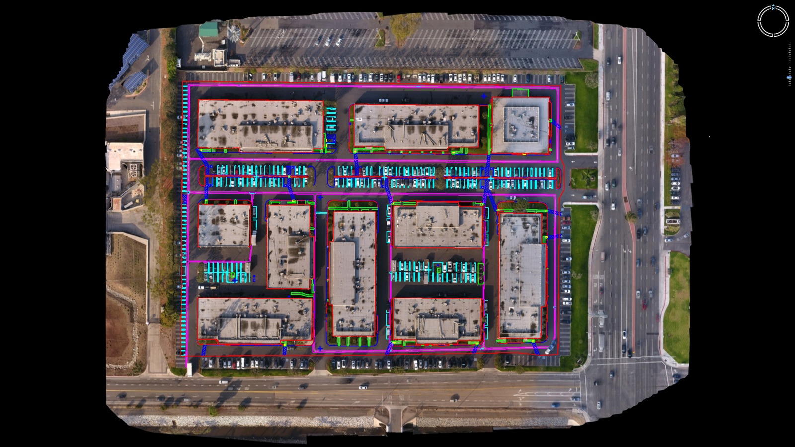
ALTA / NSPS Standards Includes:
- Orthophoto and core photogrammetry and/or lidar outputs
- Visible planimetric features captured from the air
- Additional curb and wall geometry
- Optional Table A and clean topo surface add-ons
- A DWG-oriented package built for survey and engineering workflows
You fly the site. Aerotas handles the processing and drafting. If you need Aerotas to fly the site, create an Atlas project.
Best Fit
Choose this product when you just need planimetric feature drafting without a surface.
- You want drone-collected visible data aligned more closely to ALTA workflows.
- You need to reduce office cleanup between aerial drafting and final ALTA production.
- You want Table A item drafting.