
Aerotas Linework Production
Frequently Asked Questions
What is it?
Aerotas has been helping surveyors for years to get the highest quality deliverables out of their drone data. Now, we are offering full CAD-ready linework production. Just submit drone photos and ground control data to us, and our expert 3D technicians will draft highly detailed CAD drawings for your project site.
How does it work?
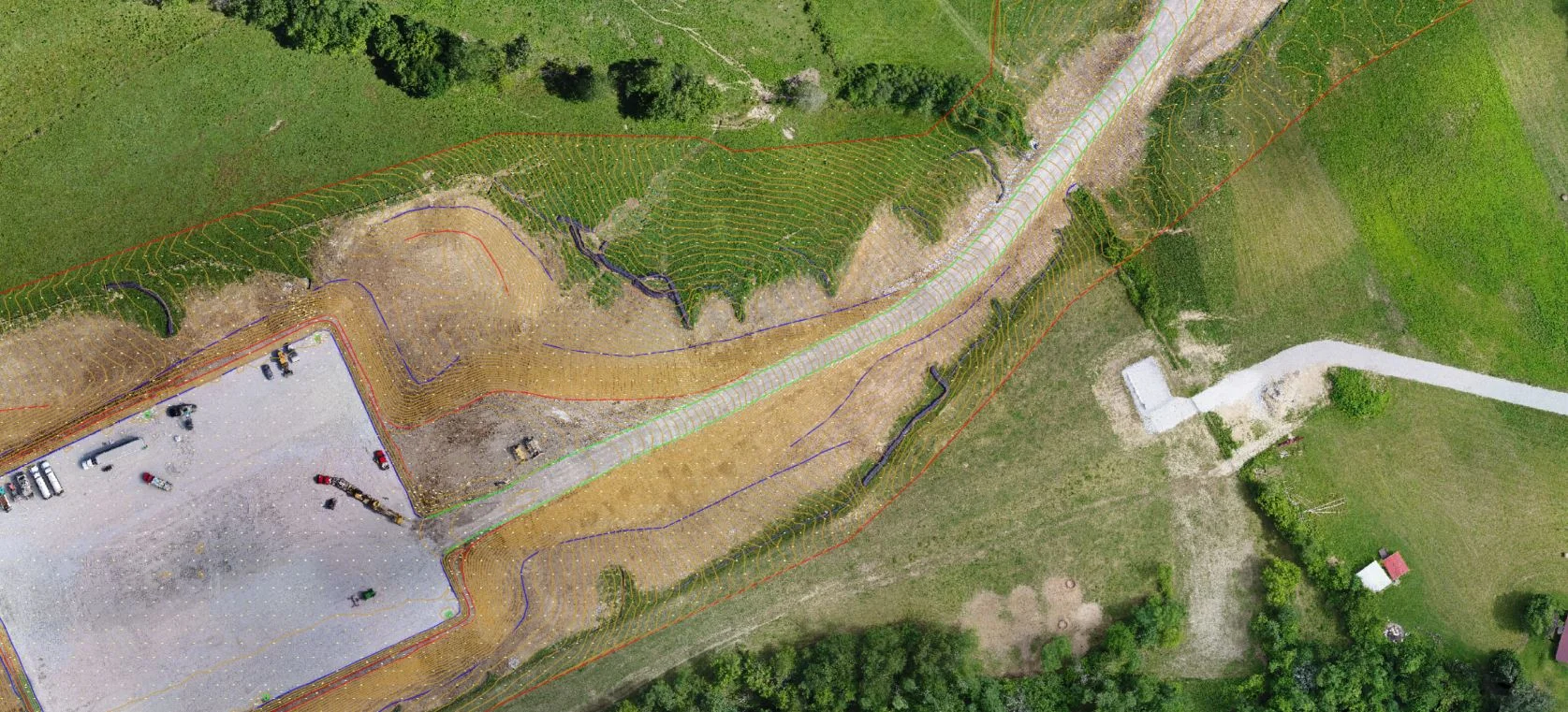
First, we stitch your aerial photos together and tie it to your Ground Control Points to generate a very accurate 3D model. Using this model, we are able to re-create your project in a 3D environment and extract real world feature (points, lines, and polygons). These features are grouped into layers and exported as a DXF file that can be imported into your CAD program along with a CAD friendly Orthomosaic photo.
Is this an automated software?
No, our trained expert technicians work to get you exactly what you need for a project.
How do I request linework for a UAV project?
It’s simple! You can request linework by filling out our order form or emailing us at support@aerotas.com.
What files do I upload to Aerotas?
What we require are the photos from your aerial mission and ground control points. If you have a KML of the project site or specific area of interest, that will help expedite the linework request.
Do I Have to use Ground Control Points?
Yes, ground control points are necessary for linework projects as they make the project significantly more accurate. Projects without ground control are not accurate enough to use for drafting.
Where can I upload the files?
You can upload the files to aerotas.com/upload. Once your upload is complete you will receive a confirmation email for your records.
What are the deliverables that I will get?
A DXF file with all the linework you need, a CAD friendly orthophoto for importing into CAD, printing, or sharing with clients, and a full-resolution 3D model for extracting any custom data that you might need.
What is included in the DXF file?
3D points and 3D polylines for all the features you might need.
What layers do you use to mark features?
We use highly descriptive layers designed to map cleanly with as many different layouts as possible. Our layers are designed to be detailed enough for nearly all typical projects, and descriptive enough to make sense. To see what these look like in action, contact us for a sample data set.
What software do your deliverables work with?
Our linework is delivered as a DXF and can be opened with any CAD program, including Civil3D or Carlson Survey. We can also deliver your linework in ESRI Shapefile format if you use a GIS software.
Can I get an example of your outputs?
Yes, please contact us if you would like to see some examples. We are more than happy to share examples of our work with you, but we would like to give context with the examples and answer any questions you may have.
Can I get a different file format?
Yes, we support many different file formats depending on what file format you would like. Please contact us if you would like different file formats as some of them require a bit of explanation and we want you to get the most out of your project.
Do you accept custom requests?
Yes, we accept most custom requests. Please contact us if your request falls outside of our normal offering and we will be more than happy to accommodate you.
How long will it take to get my deliverables?
Most projects will be delivered in under a week. Typically smaller projects can be sent out sooner than larger and more complex ones. We have a strong focus on quality over quantity so let us know if you are under any strict deadlines and we will do our best to accommodate you.
Can I request a rush job?
Yes! Contact us if you need a rush job and we will do our best to accommodate your request. Please note that, depending on our workload and capability, rush jobs may incur an extra charge.
How much does this cost?
Aerotas bills on a per acre basis. However, not all projects are the same. An acre of dense urban housing is different than an acre of undeveloped hillside. However, prices are designed to be very competitive with alternative surveying methods. Contact us for some examples of what individual projects would cost.
Are you land surveyors?
No we are not nor do we pretend to be. We provide data processing and technical services to land surveyors and civil engineers. We have staff certified by the ASPRS that run strict quality control on all linework projects before they are sent to you. Where required by law, Aerotas will only provide linework to legally qualified, registered land surveyors or engineers.
How accurate is the resulting data?
That depends on a lot of factors! While we will attempt to provide accuracy estimates, the best way to measure accuracy is to set checkpoints. Contact us if you want to learn more about the best way to do that.
Can you get data underneath trees or building eaves?
No, unfortunately we unable to map anything that we can’t see from above. We recommend that clients collect data under trees and eaves using traditional land surveying methods.
Where can I learn more?
You can call us at (949) 335-4323 or send an email to linework@aerotas.com, and we’ll get in touch with you.
How many ground control points should I set?
Every project is different, so contact us at support@aerotas.com if you need help with a specific project. Do note that an absolute minimum of 5 control points is required for all projects.